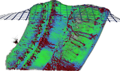
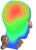
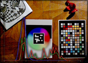
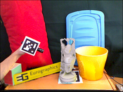
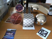
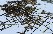
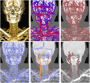
Show images of current Projects | Years: 2011 - 2012 - 2013.
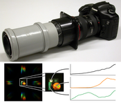
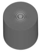
X-Mas Cards
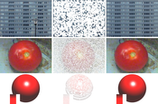
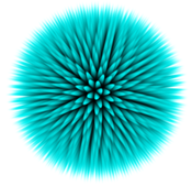
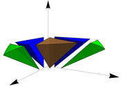
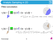
Every year a christmas card showing aspects of our research projects is produced and sent out.Modern Functional Analysis in Computer Graphics
The projects develops new mathematical foundations for global-illumination algorithms.Photo-Guide: Image-Based City Exploration
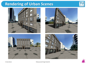
The core idea of the project is the enhancement of current state-of-the art navigation systems by visual information obtained from geo-referenced photographs. The aim is to establish a suite of tools together with algorithmic foundations that will be essential for any large scale image-based guidance project.ViMaL: A Visualization Mapping Language
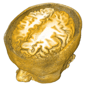
Visualization is the discipline dealing with the depiction of data. The assignment of visual abstractions to data abstractions is referred to as the visualization mapping.Expressive visualization mappings proofed in many cases to be more effective than the examination of raw data (i.e., large tables of numbers). Although visualization mapping is a crucial step in the visualization pipeline surprisingly few general approaches exist.
We propose to develop the Visualization Mapping Language (ViMaL) that is capable of describing expressive visualization mappings and provides user interfaces suitable for non-experts in visualization.
ViMaL will be a language that is used to specify visualization pipelines. We will provide language concepts for the specification of data abstraction processes, visual concretization processes and the required visualization mapping. With this approach the semantics of a specific domain are modeled by the domain experts while the semantics of the visualization domain are modeled by the visualization expert. The visualization mapping is described using domain semantics as well as visualization semantics. Unlike other general purpose visualization systems, ViMaL systems explicitly use the semantics of the visualization mapping process. It incorporates information and knowledge assisted methods in the visualization mapping pipeline.
In the scope of this project we will define a novel Visualization Mapping Language and implement a toolbox that aids researchers from other areas to integrate the ViMaL concepts into their systems. The toolbox will provide basic ViMaL document setup and parsing as well as components for each step in the visualization pipeline. We will make use of fuzzy logic in our components for the abstraction of data, for the visual concretization, and for the visualization mapping.
We believe that the formalization of the visualization pipeline that is achieved with the visualization mapping language will enable many researchers from other domains to benefit from existing visualization methods. Further, the introduction of domain and visualization semantics for the specification of visualization mappings enables meta-visualization approaches that provide insight into the visualization process itself. Laypersons will benefit from such meta-visualization systems that are able to illustrate the involved components.

